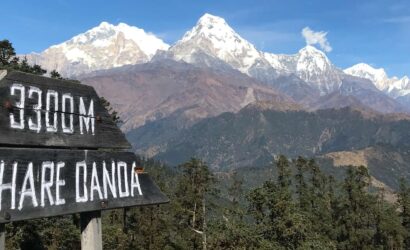
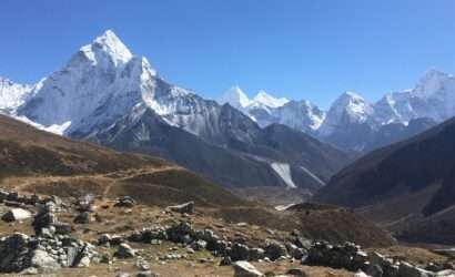
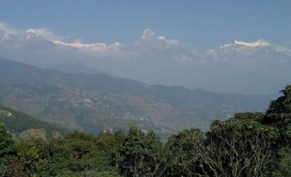
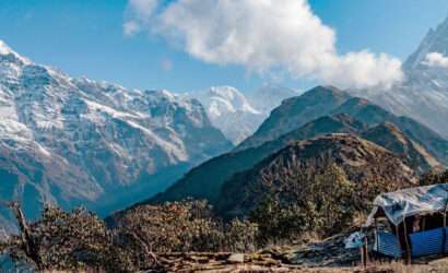
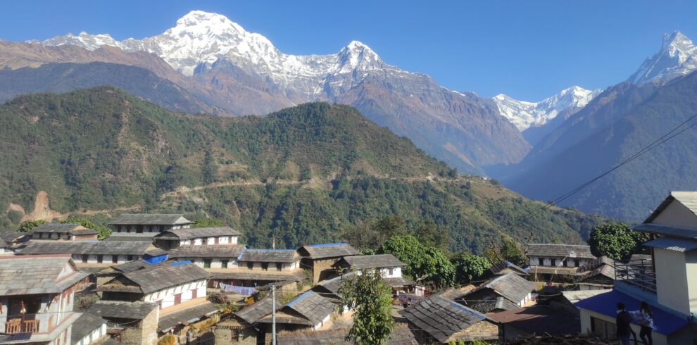
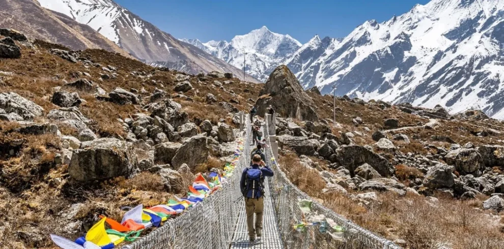
The Guerilla trek has now become a new tourist attraction and trekking in Nepal. This trekking route provides one with an opportunity to meet the people who have yet to be affected by commercialization, A lot of ethnicities enrich the route, including Brahmin, Kshetri, Dalit, Gurung Magar, Newar and Thakuri, As the name suggests, the Guerilla trek trails follow the footsteps of the Maoist guerillas during the decade-long insurgency. The route begins the Beni of Maygdi district, goes around Baglung and passes through the Dorpatan Hunting reserve and goes on to Rukum and Rolpa districts. The route was used by the Maoist insurgents during the decade-long war. The scenic beauty of this region is unmatched. One can have breathtaking views of Dhaulagiri range and wide meadows with pine trees. The elevation ranges from about 800m. At Chaurjahari to the peak of Phytha Himal at 7,245m. above sea level. This trail has now gained popularity following the publishing of the Guerrilla trek. Aka, the Shangrilla trek with Dorpatan Hunting reserve.
Day 01: pokhara to Beni to takum 1665m. ( it takes 4 hours and six hours trek takes to takum from myagdi district headquarter, one has to follow a graval road for 24 km to darbang and start walking takum is three hours walk a way with gurja himal towering overhead
Day 02: Takam to lamsung 2250m. (Trek Lamsung. it takes six hours this is where the scenery start getting even more dramatic this is what Nepal used to be like before the trekkers got here. Local sre not used to foreigners and have a lot of stories to tell about the Maoist insurgency)
Day 03: Lamsung to Gurjaghat 3020m ( Clim through dense pine forests, with musk deer darting in the undergrowth, The meadows on the ridge offer 180 degree views of the entire dhaulagiri range up to Churen Himal in the west. it takes seven hours to reach Gurjghat)
Day 04: Gurjaghat to Dhorpatan 2860m (Cross over from Myagdi To baglung and into the former Tibetan Refugee camp which was serviced by an airfield build buy the Swiss in the 1950s.This is also entrance to dhorpatan, a hunting reserve, where one can spot mountain goats and blue sheep. I takes five hours to reach dhorpatan)
Day 05: Dhorpatan to Nisi Dhor 2620m. ( A five hours trek takes to Nisi Dhor . It is paradise for birds watch Pheasants and other Migratory Species. Hard to Imagine that People fought a war here. there are cow sheds in the monsoon but in the winter these high pasture are deserted)
Day 06: Nisi Dhor to Thulo Shera ( it takes 7 hours to reach thulo shera. cross over from baglung to rukum in to Magar country and enter the former Maoist base area. There are dense forest all the way so it must have been easy to hide here from the helicopter patrols. the village are picture square and there is always some kind of Magar festival going on.)
Day 07: Thulo Shera to Rujhkhola ( walk to Lukum in Rukum a village populated only by Magars and Dalits ( low castes) this is about as Medival as it gets in Nepal now a days . It takes 6 hours to reach there.)
Day 08: Rujhikhola to Thabang ( A 5 hours trek takes to Thabang. It is the cardile of the Maoist revolution .It was damaged in Army attacks and parts of the town where flattened by tora bora mortar shells dropped from Helicopters. There has been some development of infrastracture after the war ended and the people are eger and friendly.)
Day 09: Thabang to Jaljala ( It takes 5 hours to reach Jaljala the highest point in Jalala is dharampani 3900m. and there is a great view from apisaipai in the west to dhaulagiri in the east)
Day 10: Jajala to Jelbang ( trek down to Jelbang it takes 6 hours move down from the high mountain and the village are ethically mixed
Day 11: Jelbang to Suliichaur ( this is where rolpais finally reached Rolpa was also a rebel base area and for many of the ten years of war under total Maoist control. one can eat at one of the many commune resturant run by maoist cooperative wgere staff are relative of those who were kill in the fight)
Day 12: Salichuar to Kathmandu or Pokhara it takes 13 hours


